n construction near the home. Look up the exact address on the FEMA Flood Map Service Center, ask your lender whether flood insurance is required, and check the city's site for seawall project timing on your block. You are living right at the tide line, and the seawall work is the context for that.
Balboa Peninsula
This narrow strip has ocean surf on one side and harbor tides on the other, bringing weather from both directions. The city builds a sand berm on the beach each winter to hold back storm surf. In October 2026, city crews worked to rebuild protective sand berms along the coastline due to increased surf and unusually high ocean water levels.
Salt air reaches homes from two sides, which can wear metal railings, window frames, and exterior finishes faster. Ask the seller for maintenance and replacement records, and read the disclosures for any past water intrusion. The salt and dampness blow across the peninsula constantly, from both sides.
West Newport
These flat beachfront blocks are where the marine layer tends to sit longest. The deciding factor here is whether the specific block sits in a FEMA-mapped flood zone.
Ground-floor living and garages at sand level are the most exposed to winter surf and gray, damp mornings. Check the specific address on the FEMA map, because zone status can change from block to block. Winter swells and the longest stretches of morning fog are part of the deal.
Weather exposure on the bluffs and hillsides
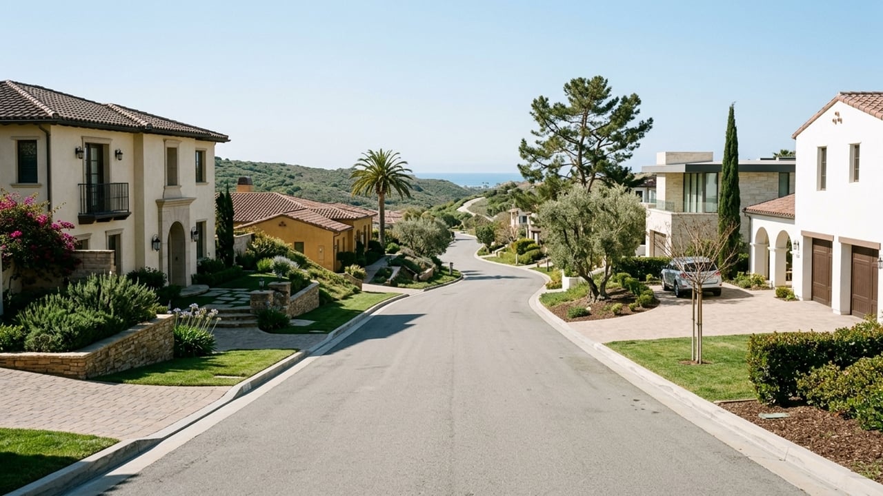
Moving up from the sand, the bluff and hillside areas sit above tide and surf reach but face more wind exposure. The Santa Ana wind season typically spans from September through May, with the most active events occurring from September to December.
These neighborhoods trade water risk for wind checks, and in some inland areas, fire-map checks. Buyers looking here should ask for any bluff or geotechnical reports before removing contingencies to understand the stability of the land.
Newport Heights
This bluff neighborhood sits above the harbor, high enough to stay out of tide and surf reach. The coastal mesa in the Newport Heights area rises to about 100 feet above sea level. It is still close enough to the water for marine-layer mornings.
Exposed bluff-top lots catch wind, including dry Santa Ana gusts in the fall. Ask about window and door condition, and for homes near the bluff edge, ask whether any geotechnical report exists.
Corona del Mar
Corona del Mar is a bluff-top village above the beaches. Bluff-top homes can sit well above the beach they overlook, as the coastal platform here ranges from about 95 to 100 feet above sea level.
Ocean-facing streets still sit in the marine layer on many late-spring mornings. Bluff-edge lots raise erosion questions, so ask for any bluff or geotechnical reports before removing contingencies. The added height comes with erosion checks to manage.
Newport Coast
These hillside communities climb inland from the coast. They sit far from tides and surf, but they are exposed to Santa Ana winds and fire-hazard mapping. On March 24, 2025, the state issued updated Fire Hazard Severity Zone maps, which show Very High Fire Hazard Severity Zones covering areas like Newport Coast.
Fire-zone status can affect insurance cost and availability, as well as landscaping and building requirements. Get homeowners insurance quotes for the specific address before your contingency period ends. Coastal flooding concerns drop away, but fire-zone regulations and insurance hurdles take their place.
Newport Beach home prices at a glance
The all-homes median rose faster than either single-family homes or condos because more high-priced single-family homes sold, so buyers should not read the headline as every home gaining 13.2%. You can follow these shifts on our Newport Beach housing market trends page.
- Median sale price, all homes: $3,848,167, up 13.2% year over year (284 sales, 90 days ending 2026-09-30)
- Median sale price, single family: $4,810,582, up 6.6% year over year (200 sales, 90 days ending 2026-09-30)
- Median days on market: 65 for single family, 70 for condos (90 days ending 2026-09-30)
- Sale-to-list ratio: 96.7% for single family, 97.6% for condos (90 days ending 2026-09-30)
- Share sold above list: 9.1% of single-family sales, 8.8% of condo sales (90 days ending 2026-09-30)
- Months of supply: 3.8 for single family, 4.5 for condos; 391 homes of all types for sale (90 days ending 2026-09-30)
- Median price per square foot: $1,779 single family, $1,115 condo (90 days ending 2026-09-30)
How to check a home's weather exposure before buying
Schedule time to visit a home in different conditions during your contingency period. You need to see how the elements affect the specific house you want to buy.
We can help you compare homes across different areas so you know exactly what kind of exterior upkeep you are taking on. The buying process in Newport Beach has a contingency timeline built for these checks, so plan your visits and insurance quotes before that deadline.
Tour the home in the morning and the afternoon
Because typical listings stay on the market for two months or more, there is usually time for two visits. Do one in the morning, ideally in May or June, to see the marine layer, and one in the afternoon to check the sun, wind, and light.
Look for condensation, damp corners, rust on railings, and salt film on the glass. Desirable homes still sell quickly, so a second visit may need to happen within days. Plan both visits before the first showing rather than after.
Check flood and fire maps and insurance quotes
Look up the address on the FEMA Flood Map Service Center and CAL FIRE's hazard viewer. Read the Natural Hazard Disclosure and seller disclosures, then get homeowners and, if needed, flood insurance quotes. Use our financing and mortgage rates resources to factor these premiums into your monthly payment.
That median sale-to-list ratio for single-family homes leaves room to ask for credits for salt-air or water repairs the inspection finds. Maps show mapped hazards, not a specific home's condition or its insurance price. Only a quote for that address shows the real cost, so get it before your contingency deadline.
Newport Beach weather FAQs
What is the average annual rainfall in Newport Beach and Orange County?
Rainfall totals swing widely from year to year. You can check the Newport Beach annual normal through NOAA's climate normals and the county average through Orange County Public Works.
Is Newport Beach warm enough to swim?
Ocean temperatures fluctuate throughout the year. Many swimmers find the water comfortable in late summer and early fall, while most wear wetsuits in the cooler months. Check local lifeguard postings for current water conditions.
Is 2026 going to be a wet year in Newport Beach?
NOAA's Climate Prediction Center's winter outlook favors above-normal precipitation for California for December 2026 through February 2027, driven by an El Niño-influenced storm track. Coastal Southern California is specifically highlighted as part of the wetter-than-normal zone into March 2027. These outlooks are probabilities, not guarantees, and one or two atmospheric-river storms can decide the season.
Is Newport Beach warm in December?
December temperatures vary, but occasional Santa Ana days can bring warm, dry weather in late fall and winter. The most active Santa Ana events occur from September to December, as noted in the bluffs section above.
How hot does Newport Beach get in summer?
You can check NOAA's climate normals for the average number of days at or above 90 degrees. The hottest spells often come with offshore Santa Ana winds in late summer and fall rather than in June.
Does Newport Beach have big waves?
The Wedge at the tip of the Balboa Peninsula is known for large waves built by summer south swells. From May 1 through October 31 each year, the area between Lifeguard Tower 40 and Tower 44 is a designated Blackball area where flotation devices are prohibited from 10 a.m. to 5 p.m. Lifeguards post restrictions on big-surf days, so always check the local postings.
Does it ever snow in Newport Beach?
Measurable snow is not part of the normal climate in Newport Beach. You can review NOAA's climate normals for historical snowfall records.
Sources
- Redfin: Data Center
- Wikipedia: Newport Beach, California
- Fox 5 San Diego: May Gray to June Gloom
- Yahoo News: First Santa Ana wind event
- Wikipedia: Climate of San Diego
- Karmactive: NOAA El Nino Winter Outlook
- City of Newport Beach: FY2025-26 Capital Improvement Program
- City of Newport Beach: News Release
- City of Newport Beach: Fire Prevention Division
- City of Newport Beach: General Plan EIR
- City of Newport Beach: Marine Operations Division